Subject of auction: Land parcel no. 391/2 and 793 in the
Sale
Land
986 m²
Total Area
Description
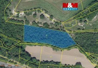
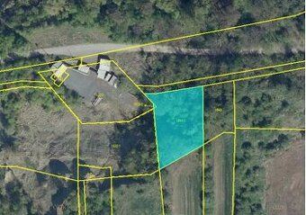
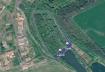
Subject of auction: Land parcel no. 391/2 and 793 in the village of Počedělice, district of Louny, cadastral area of Orasice on land registry sheet no. 23.
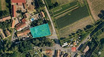
Beschreibung des Auktionsgegenstandes: This concerns land parcel no. 391/2 with total area of 986 sq m2 and land parcel no. 793 with total area of 176 sq m2.
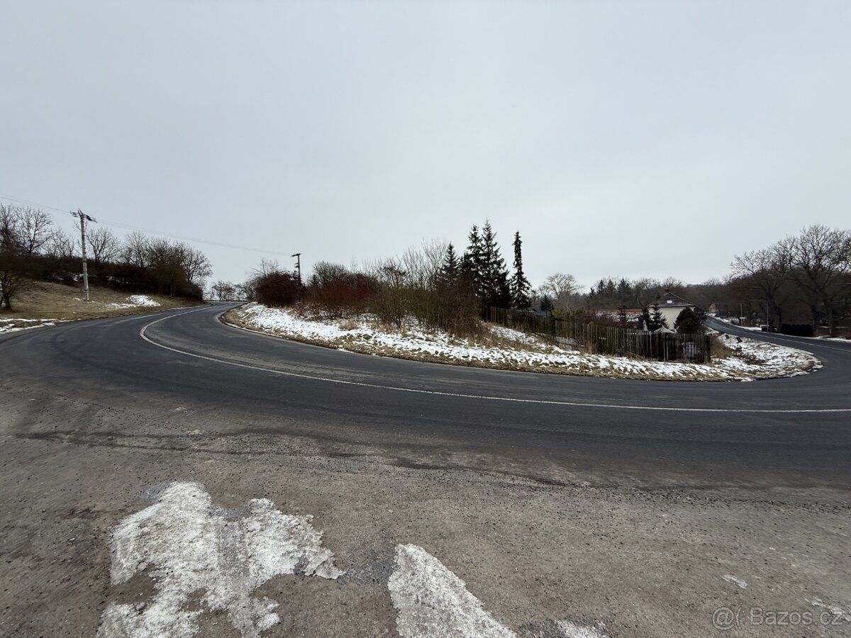
According to the zoning plan, land parcel no. 391/2 is partially regulated as mixed residential area of rural character and predominantly as technical infrastructure - road class II (OP 50m). Land parcel no. 793 is listed in the zoning plan as technical infrastructure - road class II (protective strip 50 m) and it is also used this way in reality. It is a land underneath the communication body, therefore the hardened surface is not subject to valuation.
The land according to the spatial planning documentation is located within built-up area of the municipality, in areas designated for housing. However, it is simultaneously affected by the proposal for future relocation of road II/246, which runs across the evaluated land. Considering this fact, construction authority does not allow realization of family house construction on the evaluated land.
Highest and best use (so called "highest and best use") is defined as such utilization of the land that is legally permissible, physically possible, economically feasible and at the same time brings highest value. In given case, considering above mentioned restrictions resulting from spatial planning and transport infrastructure, these conditions are not met by utilization for housing.
For stated reasons, evaluated land including its location close to main traffic route is viewed as green space function fulfilling area, which corresponds to its highest and best use.
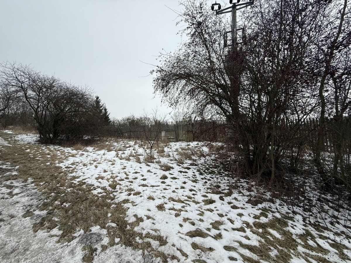
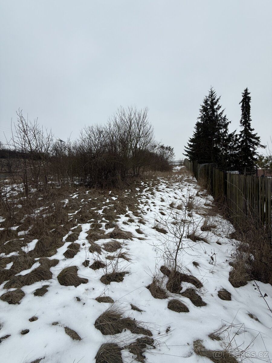
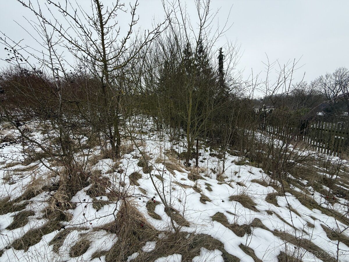
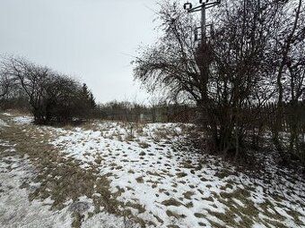
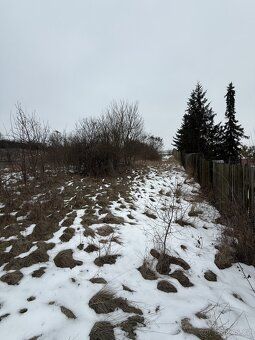
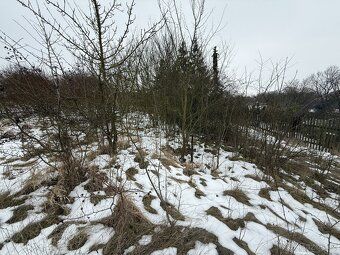
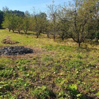
Land slopes are slightly sloped. Lands are not fenced. On land parcel no. 391/2, there are wild growth trees without economic value. These growths do not meet characteristics of permanent growths, therefore they are not subject to evaluation and are considered as growths intended for removal.
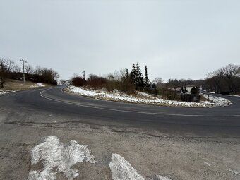
Access is unproblematic via paved municipal road.
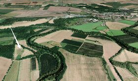
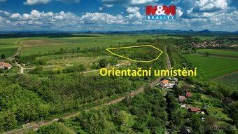
The land lies in northern part of municipality and surroundings nature corresponds to residential development with family houses and gardens.
Beschreibung des Auktionsgegenstandes: This concerns land parcel no. 391/2 with total area of 986 sq m2 and land parcel no. 793 with total area of 176 sq m2.
According to the zoning plan, land parcel no. 391/2 is partially regulated as mixed residential area of rural character and predominantly as technical infrastructure - road class II (OP 50m). Land parcel no. 793 is listed in the zoning plan as technical infrastructure - road class II (protective strip 50 m) and it is also used this way in reality. It is a land underneath the communication body, therefore the hardened surface is not subject to valuation.
The land according to the spatial planning documentation is located within built-up area of the municipality, in areas designated for housing. However, it is simultaneously affected by the proposal for future relocation of road II/246, which runs across the evaluated land. Considering this fact, construction authority does not allow realization of family house construction on the evaluated land.
Highest and best use (so called "highest and best use") is defined as such utilization of the land that is legally permissible, physically possible, economically feasible and at the same time brings highest value. In given case, considering above mentioned restrictions resulting from spatial planning and transport infrastructure, these conditions are not met by utilization for housing.
For stated reasons, evaluated land including its location close to main traffic route is viewed as green space function fulfilling area, which corresponds to its highest and best use.
Land slopes are slightly sloped. Lands are not fenced. On land parcel no. 391/2, there are wild growth trees without economic value. These growths do not meet characteristics of permanent growths, therefore they are not subject to evaluation and are considered as growths intended for removal.
Access is unproblematic via paved municipal road.
The land lies in northern part of municipality and surroundings nature corresponds to residential development with family houses and gardens.
Details
- Location: Louny, 440 01
- Created: 30 Jun 2026
Scan to open online: